Introduction
The alarming retreat of the Patagonia glaciers in Chile has raised significant concerns among climate scientists and environmentalists. Recent satellite observations have provided crucial insights into the pace of this phenomenon, allowing for better understanding and potential mitigation strategies. This article explores how advanced satellite technology is aiding in the monitoring of glacier dynamics and the implications for climate change research.
The Role of Satellites in Climate Research
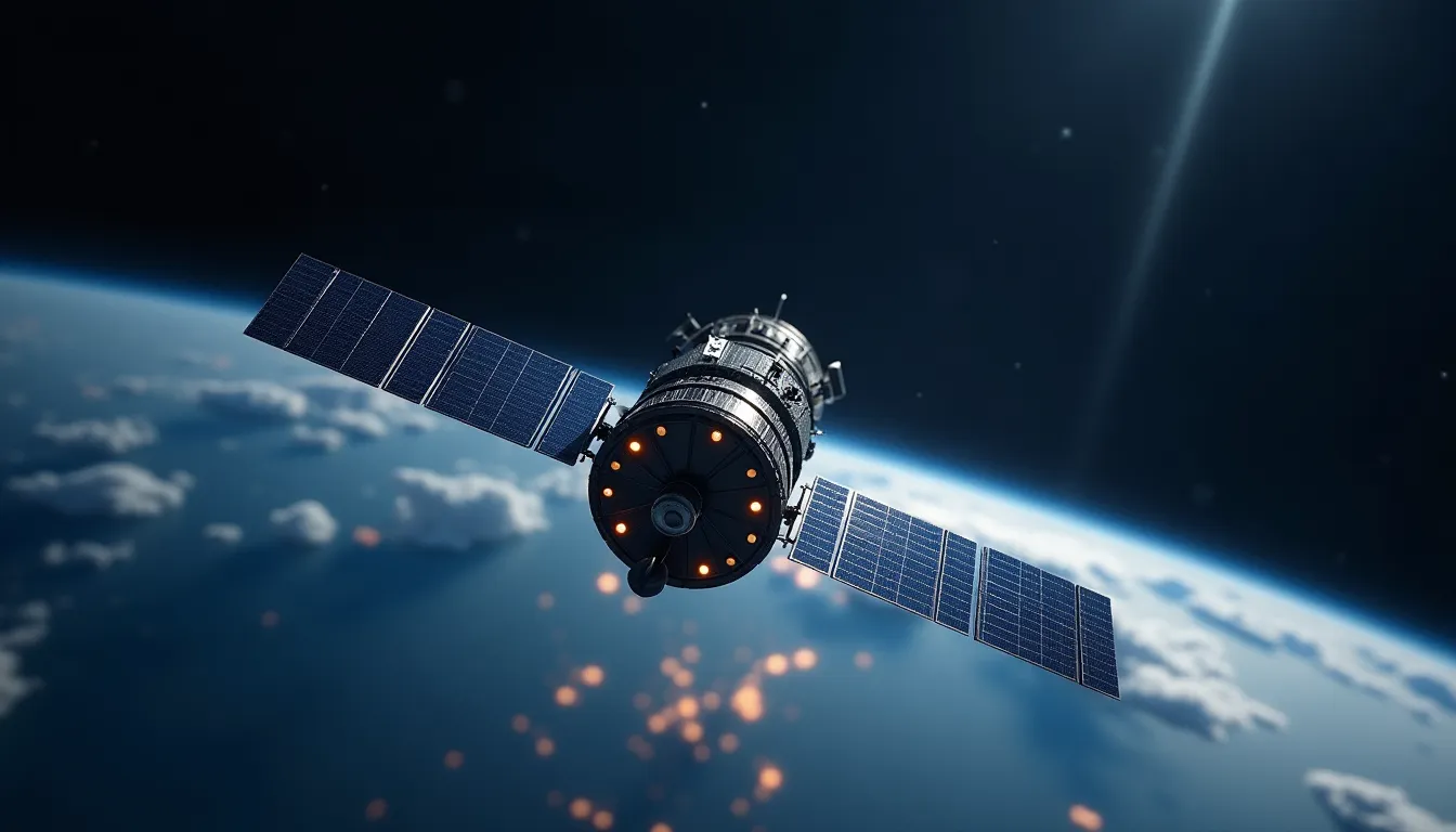
Satellites have become indispensable tools in climate research, offering a bird’s-eye view of Earth’s surface changes over time. High-resolution imagery and data collected from various satellite missions enable scientists to assess environmental shifts with unparalleled precision. For instance, the European Space Agency’s Copernicus Sentinel-1 mission utilizes radar satellites to monitor land deformation and glacial movements, providing critical data on the stability of ice sheets and glaciers.
Patagonia’s Glaciers Under Threat
Patagonia’s glaciers, particularly those in the Southern Andes, have been receding at unprecedented rates. According to a study published in Nature Geoscience, the region has experienced a significant loss of ice mass, contributing to rising sea levels globally. The rapid retreat is attributed to a combination of rising temperatures and changes in precipitation patterns, both linked to climate change.
Satellite Observations Reveal Alarming Trends
Recent satellite data indicate that glaciers such as the Grey Glacier and the Perito Moreno Glacier are losing ice volume at an alarming pace. “Our satellite observations show that these glaciers are not just retreating; they are also thinning, which poses a serious risk for freshwater resources in the region,” explains Dr. Maria Gonzalez, a climate scientist at the Universidad de Chile.
Satellite imagery has allowed researchers to quantify the rate of retreat and thinning, establishing a clearer link between glacier dynamics and climate variables. For example, data from NASA’s Landsat satellites have been instrumental in tracking changes in glacier extent and volume over the last few decades.
Advanced Technologies Enhancing Satellite Data
The integration of advanced technologies is enhancing the accuracy and reliability of satellite data. High-precision accelerometers onboard satellites help in measuring gravitational changes, which are indicative of ice mass loss. This technology allows for continuous monitoring of glacier health, providing real-time data to researchers.
Furthermore, the application of inertial navigation systems in satellite technology has improved the positioning accuracy of remote sensing instruments, ensuring that scientists can rely on precise location data when analyzing changes in glaciers.
Implications for Climate Policy and Action
The insights gained from satellite observations not only contribute to scientific understanding but also have profound implications for climate policy. With glaciers acting as critical freshwater reservoirs, their retreat threatens water supplies for millions of people in the region.
As Dr. Gonzalez notes, “The data we collect through satellites can inform policymakers about the urgent need for climate action. Understanding the dynamics of glacier retreat helps us predict future water availability and plan accordingly.”
Future Developments in Satellite Technology
Looking ahead, the future of satellite technology in environmental monitoring appears promising. Upcoming missions planned by both NASA and ESA aim to deploy more advanced satellites equipped with state-of-the-art sensors, including enhanced gyroscopic instruments for stability and orientation. These advancements will allow for even more precise measurements and a better understanding of glacial dynamics.
Moreover, the integration of artificial intelligence and machine learning algorithms into satellite data analysis is expected to revolutionize how researchers interpret vast amounts of data, leading to quicker and more informed decisions regarding climate interventions.
Conclusion
The retreat of Patagonia’s glaciers is a stark reminder of the impacts of climate change, and satellite technology is at the forefront of monitoring these changes. By providing accurate and timely data, satellites are not just observing environmental shifts; they are shaping our understanding of climate dynamics and influencing global policy decisions. As technology continues to evolve, the role of satellites in climate science will undoubtedly become even more critical, offering hope for better management of our planet’s resources in the face of climate challenges.
Call to Action
To support ongoing research and monitoring efforts, it is essential for governments and organizations worldwide to invest in satellite technology and climate science initiatives. Only through collective action can we hope to mitigate the impacts of climate change and protect vital ecosystems like those found in Patagonia.